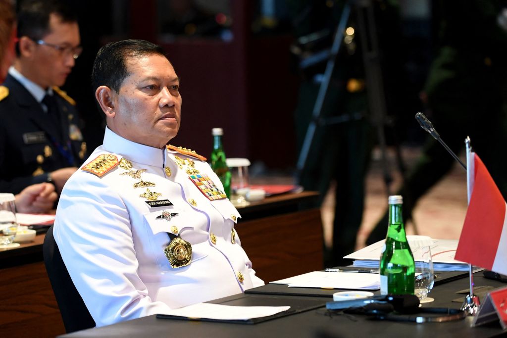
A few weeks ago, Indonesia’s armed forces chief Admiral Yudo Margono revealed interesting data about the countries said to have violated Indonesian airspace. The highest number of intrusions had been by US aircraft, Yudo told a meeting of the international affairs committee of the Indonesian House of Representatives in Jakarta. He presented figures showing that from January to June this year, such violations had occurred eight times by US military aircraft and three times by civil aircraft.
India followed next on his list, with two violations by military aircraft – and, oddly enough, given the geographical distance involved, the Czech Republic with one violation by a civil aircraft.
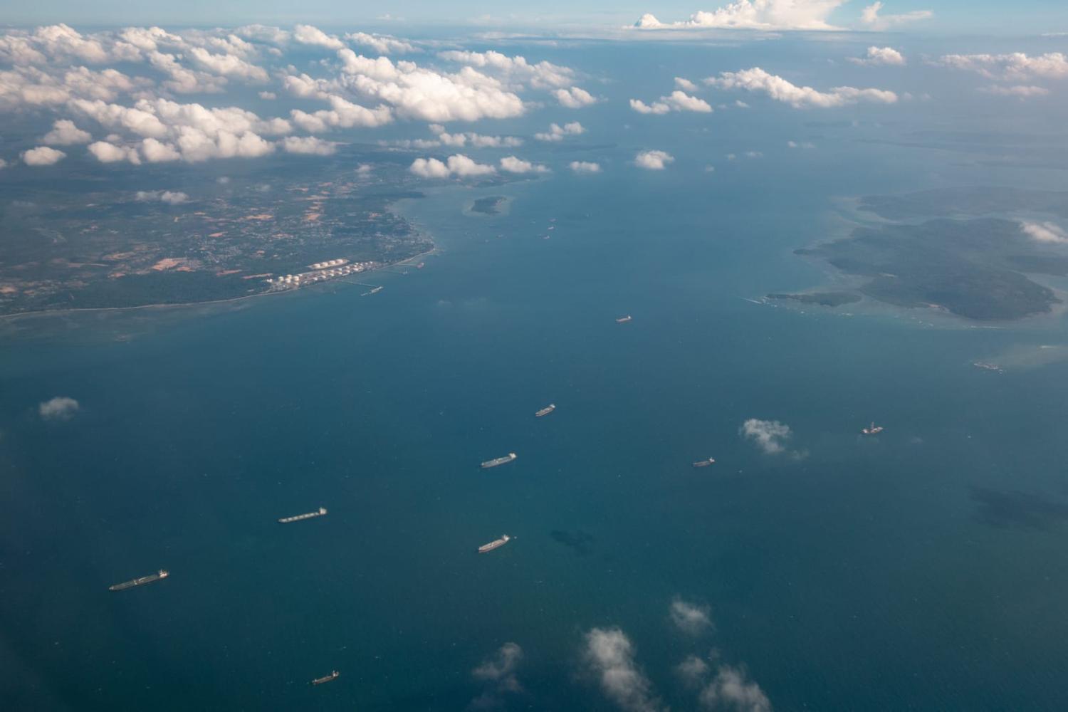
However, Yudo did not give details about the nature of these violations. The regulations that Indonesia considered to have been broken remain unclear. Yudo said only that 13 of these violations took place in what is designated the Singapore Flight Information Region, which straddles Riau province on the Indonesian side of the Malacca Straits.

The number of reported US breaches appeared telling, and the explanation may lie in differing interpretations of international legal regulations. Indeed, at the rate involved over just six months, the US activity could be interpreted as a challenge to Indonesia’s position.
The difference involves the UN Convention on the Law of the Sea (UNCLOS), which although is mainly referenced regarding maritime traffic, also regulates the legal status “of the air space over archipelagic waters”. Indonesia has ratified UNCLOS, whereas the United States has not, while declaring it will abide by the agreement and regularly undertaking operations to ensure freedom of navigation. And despite not ratifying UNCLOS, the US has recognised Indonesia's status as an archipelagic state.
Under the UNCLOS, Indonesia has been recognised as an archipelagic state with full sovereignty over its archipelagic waters and airspace. Indonesia is presently the only country to have designated an archipelagic sea lane under Article 53 of UNCLOS, which extends to the right of aircraft passage above the routes normally used for international navigation. But it is also considered to be a “partial designation” because Indonesia designated North–South archipelagic sea lanes and has not yet declared East–West routes.
The archipelagic rights provided under UNCLOS are considered a major success of Indonesian diplomacy, having doubled the size of Indonesian maritime territory, with the proviso that Indonesia should still allow international navigation through its archipelagic waters. In archipelagic sea lanes, foreign vessels and aircraft are allowed to transit without asking for special authorisation.
Under UNCLOS, if an archipelagic state does not designate the archipelagic sea lanes, Article 53(12) stipulates that foreign vessels and aircraft can still exercise a right of passage “through the routes normally used for international navigation”. However, it is unclear where these “routes normally used for international navigation” should be.
After Indonesia enacted its regulations declaring the rights and obligations for foreign vessels and aircraft in the designated archipelagic sea lanes, it also considered that any aircraft passage outside these areas requires Indonesia’s authorisation. This Indonesian interpretation of aircraft passage through its archipelagic airspace remains the sticking point with the United States.
What Indonesia regards as a US violation over Indonesian archipelagic airspace, the United States appears to see as “normal use” for international navigation. Indeed, in 2014, the US State Department Bureau of Oceans and International and Environmental and Scientific Affairs published a “Limits in the Seas” report, which declared some of Indonesia’s practices for aircraft passage other than in the designated archipelagic sea lanes to be inconsistent with UNCLOS.
With this differing interpretation of UNCLOS, the recently reported US violations appear part of a longstanding US policy to ensure freedom of navigation.
The question about the designation of archipelagic sea lanes is not only about the United States. With the increasing world geopolitical focus on the Indo-Pacific, navigation through Indonesia's archipelagic waters is becoming more important for the region – for submarines associated with the proposed AUKUS nuclear-powered submarine project, for example.
If Indonesia was to designate East-West archipelagic sea lanes, vessels and aircraft would be obliged to use that route, therefore creating more certainty for Indonesia. The present ambiguous “routes normally used for international navigation” gives no guidance where the location for navigation should be and is open to interpretation – and consequently dispute. This debate should end with a declaration of East-West lanes.

